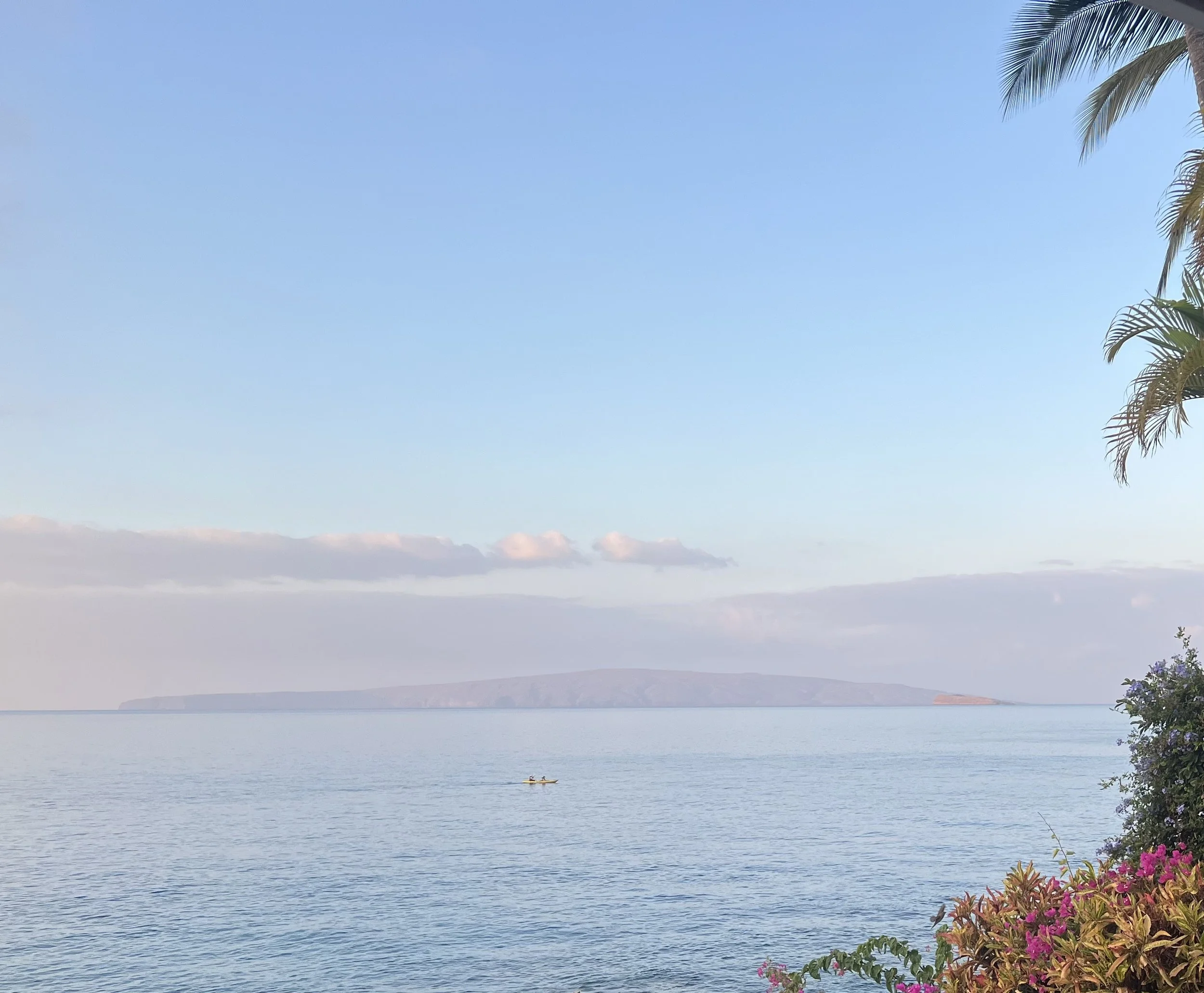
our vision
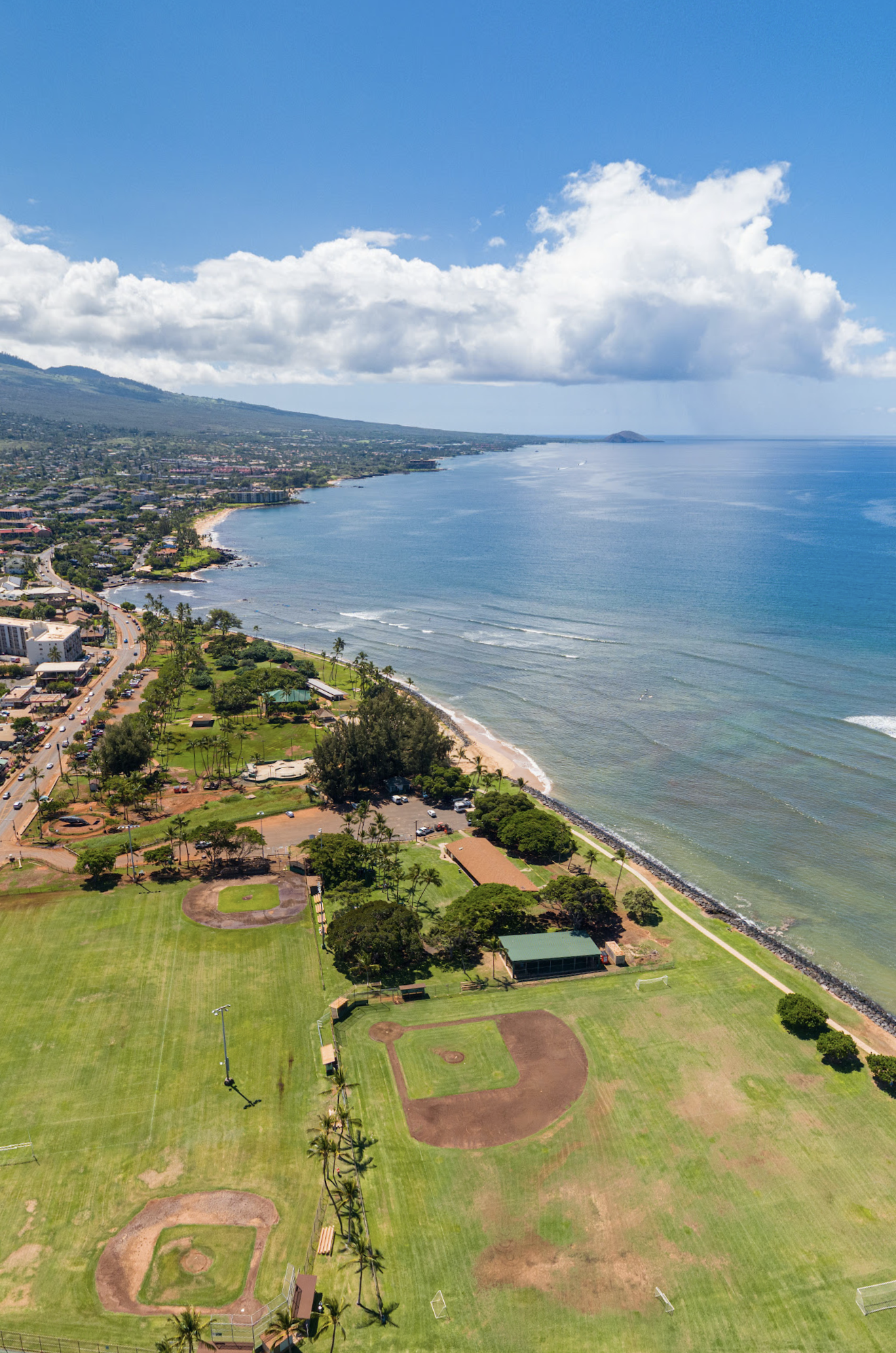
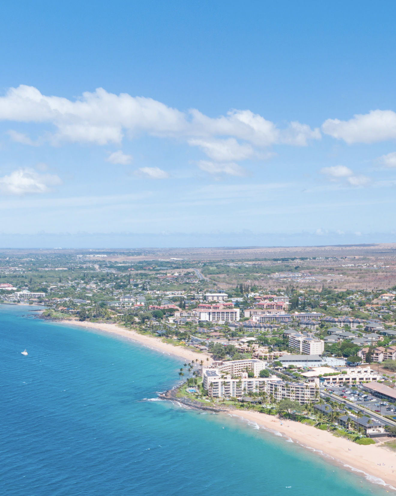
The Modern Day Kamaole Ahupuaa operates as a sustainable community-driven watershed management system. Integrating Ancient Hawaiian ancestral land management knowledge with 21st-century geographic information system technology and cutting edge use of drones to manage natural resources from ridge to reef. We promote local food security, ecosystem restoration, and cooperative trading, allowing our community to thrive without depending heavily on outside resources.
Ancient knowledge new technologies
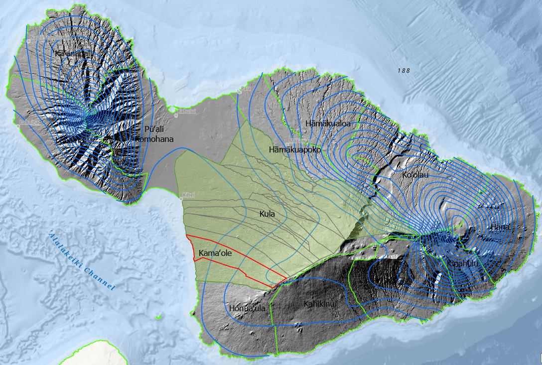
Maui Moki Puni Geodatabase
Integrating Geographic Information Systems (GIS) and Drones (UAVs) into the management of the Modern Day Kamaole Ahupuaa creates a “Spatial Nervous System” for the land acting as a “Digital Konohiki.” This allows for data-driven decisions that respect the traditional mauka-to-makai flow utilizing cutting edge precision.
GIS: The Digital Foundation
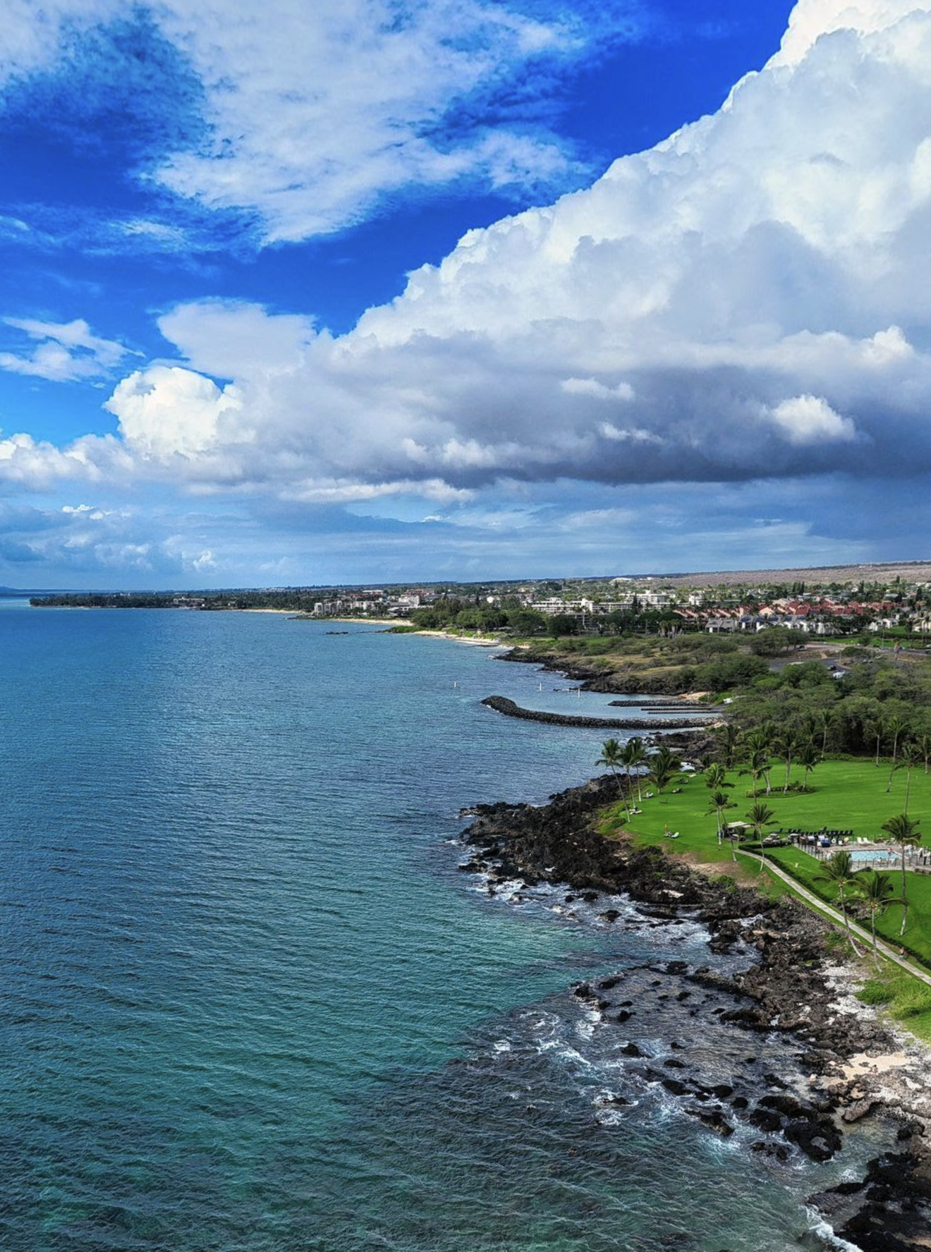
GIS acts as the “single source of truth.” It layers historical land boundaries with real-time data to visualize the health of the entire Kamaole Ahupuaa, Kula Moku, Maui Moku Puni ecosystem.
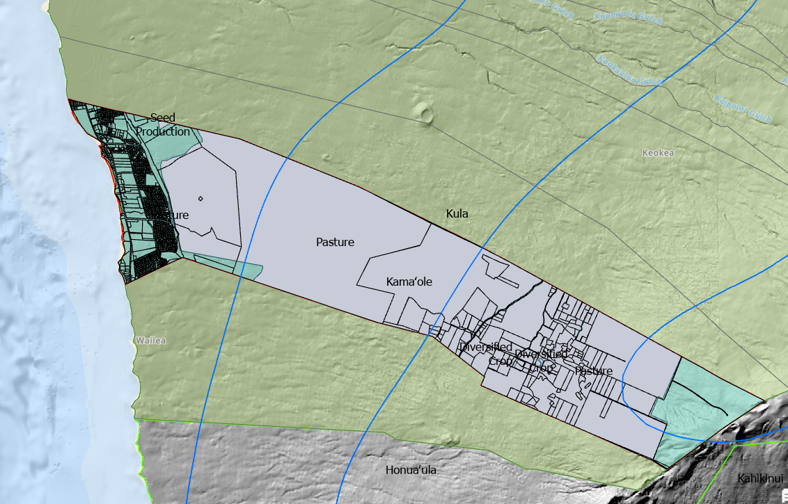
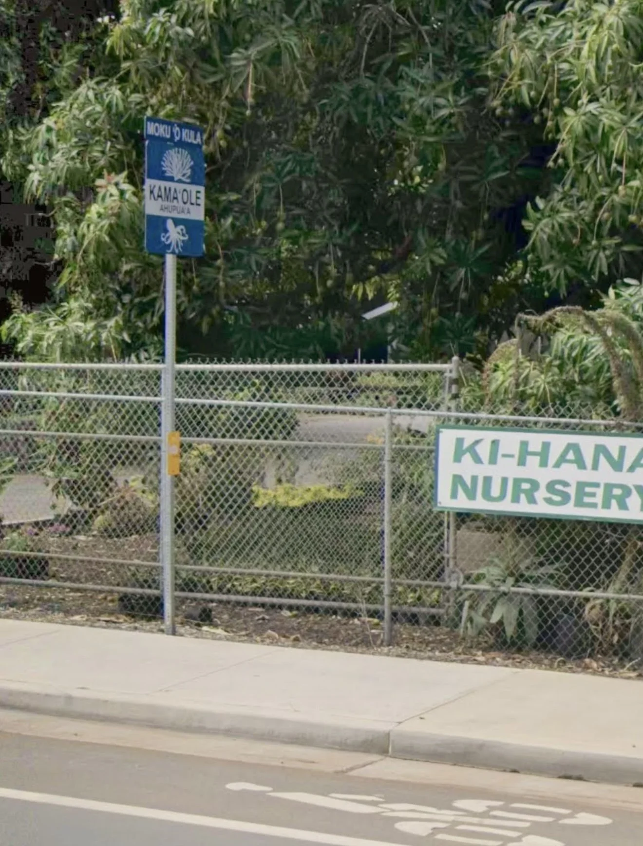
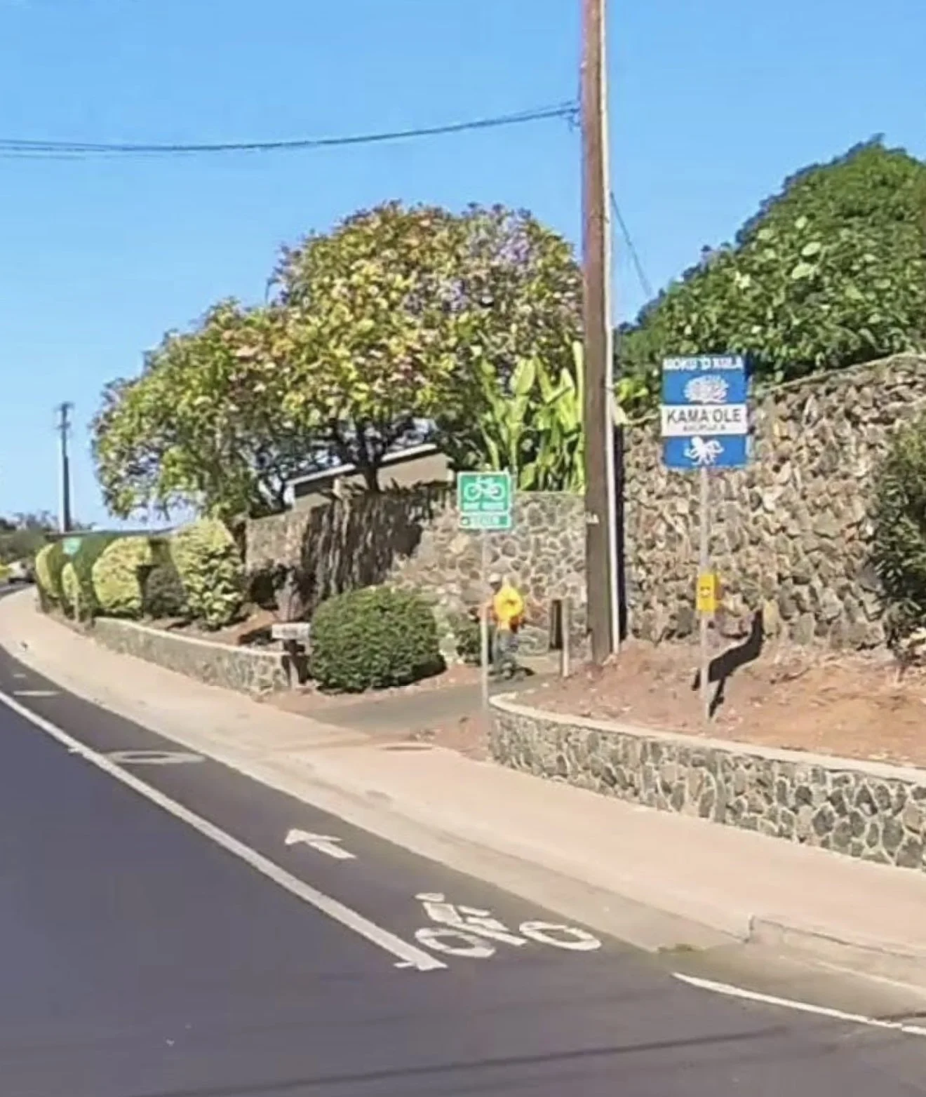
Boundary Mapping
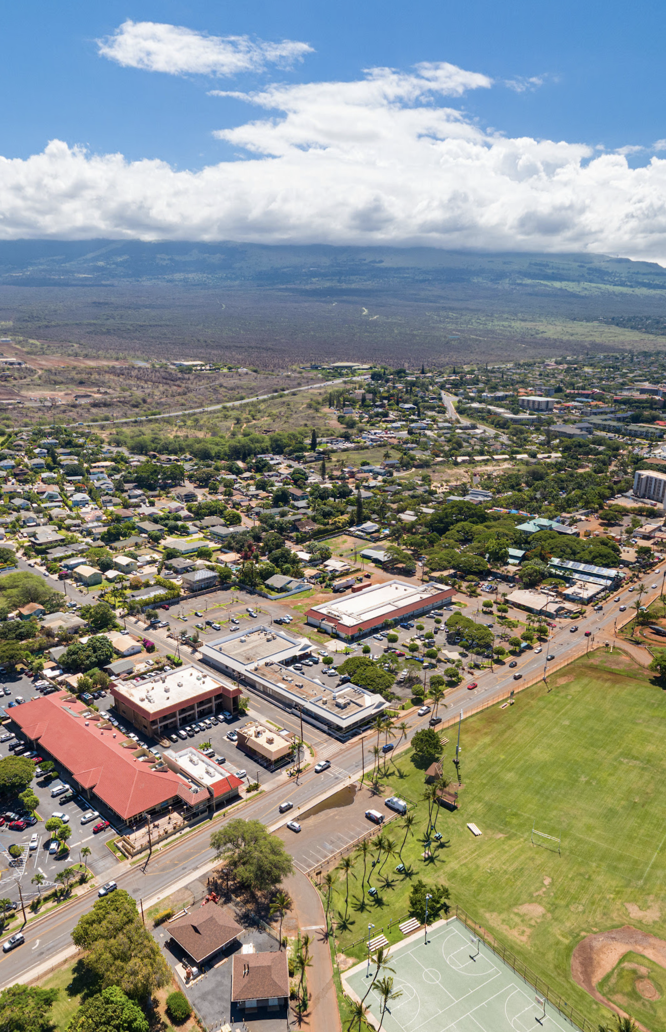
The overlay of traditional ahupuaa borders onto modern property lines helps residents and businesses understand their specific kuleana (responsibility) within the watershed.
Suitability Modeling
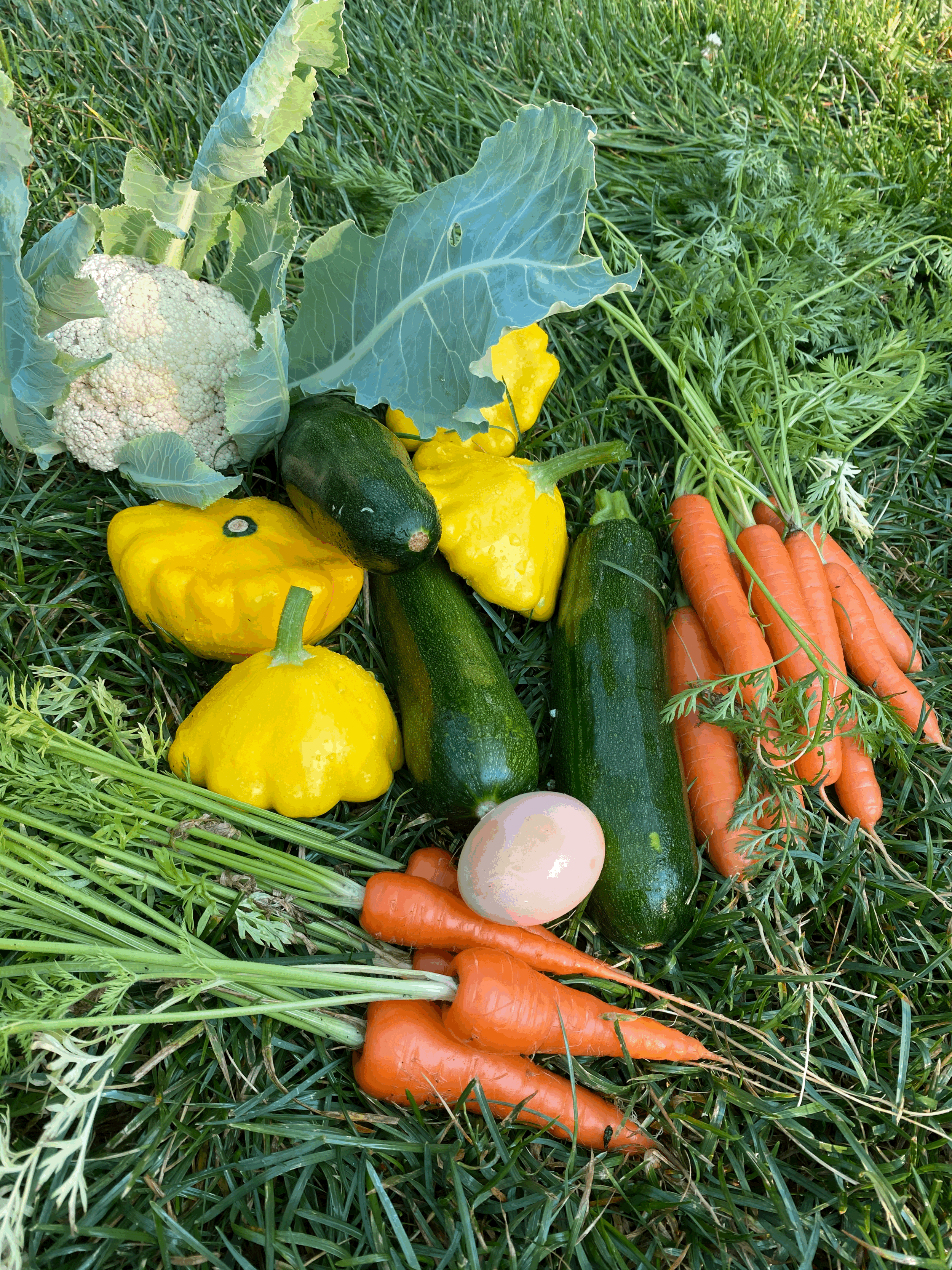
The MMP-GDB (Maui Moku Puni Geodatabase) allows analysis of soil types, slope, and solar radiation to guide farmers where to plant specific crops identifying the best microclimates for kalo and ulu within the Kamaole Ahupuaa.
Prodictive Logistics
Tracking the efficiency of food distribution routes saves time and money. If a road is blocked or a harvest is delayed, GIS can recalculate the most efficient path for “farm to table” deliveries to hotels, community hubs and households.
Drones: The Eyes and hands of the land
Drones provide high-resolution, on-demand data that satellites cannot match, especially in Hawaii’s variable weather.
Agriculture and Aquaculture Production
Multispectral Imaging
Drones equipped with specialized sensors (NVDI) can detect crop stress, pest infestations, or water shortages before they are visible to the naked eye. This allows for “Precision Agriculture,” reducing the need for fertilizers and labor while increasing productivity and quality. Thermal imaging can aide in tracking and management of invasive axis deer, feral pigs, goats and cats.
Lidar Topography
Developing updated maps of the ancient irrigation systems (auwai) hidden under overgrowth facilitate restoration projects aimed at restoring natural water flows to the loi (taro patches) and potentially productive agriculture lands identified by GIS analysis.
Stock Monitoring
For fishponds (lokoia), drones can monitor water turbidity and even track schools of fish or invasive species.
Distribution and Logistics
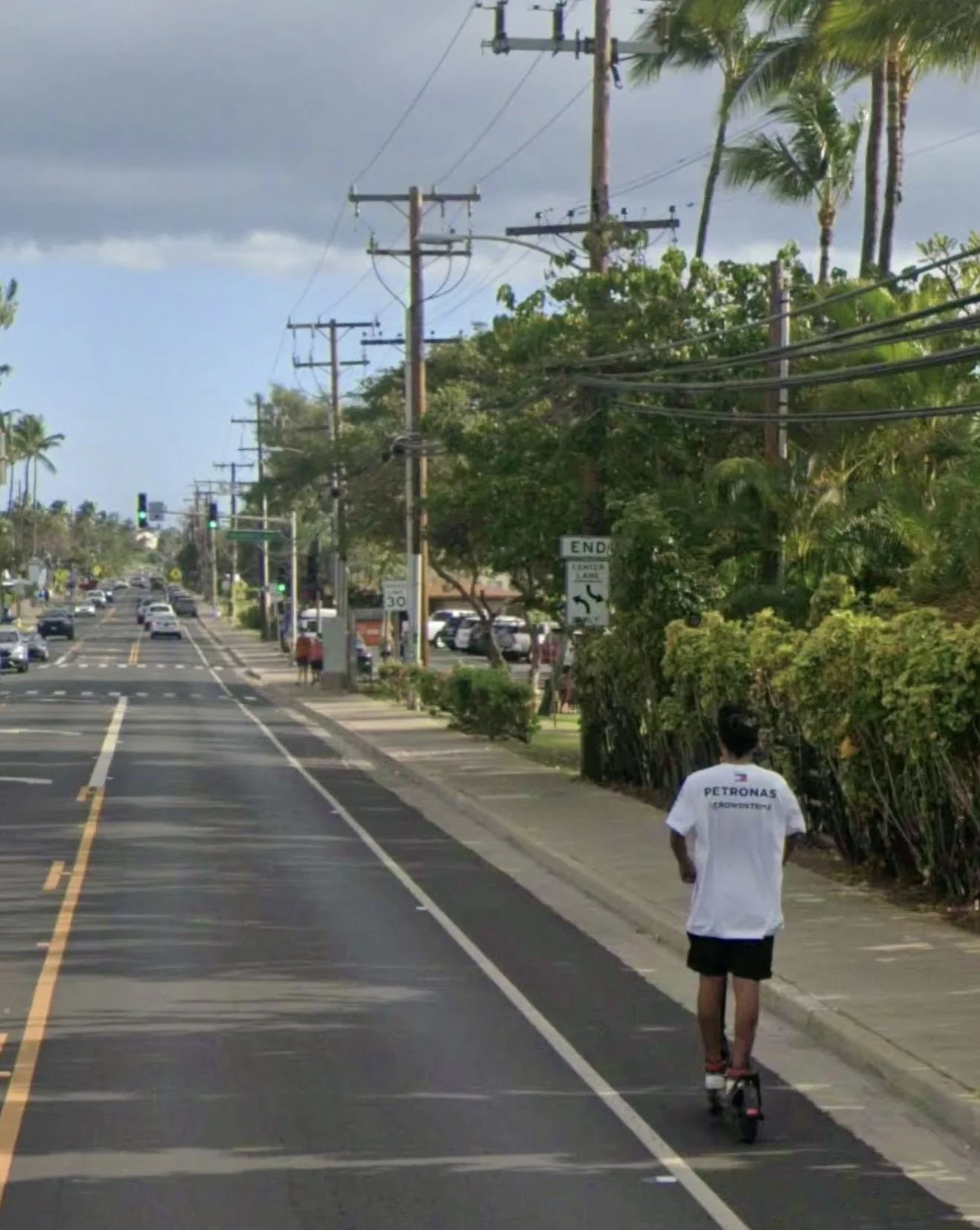
Last-Mile-Delivery
In remote mountainous areas where roads are poor, heavy lift drones can transport small batches of fresh produce from high-elevation farms directly to coastal distribution centers or resorts.
Real-Time-Inventory
Drones can fly over commercial orchards and field crops to provide instant “visual counts” of ripening fruits and vegetables, updating the Kamaole Living Mobile App’s marketplace inventory automatically.
Make a Donation
Help build the vision of a functioning Modern Day Kamaole Ahupuaa. Small donations and product purchases pay for the website and the cost to develop the Maui Moku Puni Geodatabase until longterm funding is in place and the next generation is trained and leading the way. Every contribution—big or small—helps create a world that reflects our shared values. Your support moves us all closer to a brighter tomorrow.
Contact us
Interested in working together? Fill out some info and we will be in touch shortly. We can’t wait to hear from you!