Geographic Information Services Plan
The Digital Konohiki and its connection to the Ancient Hawaiian land management practices creates the bridge and partnership between elder knowledge holders and Maui’s youth who will help implement the Modern Day Ahupuaa vision and maintain it into the future.
Spatial nervous system
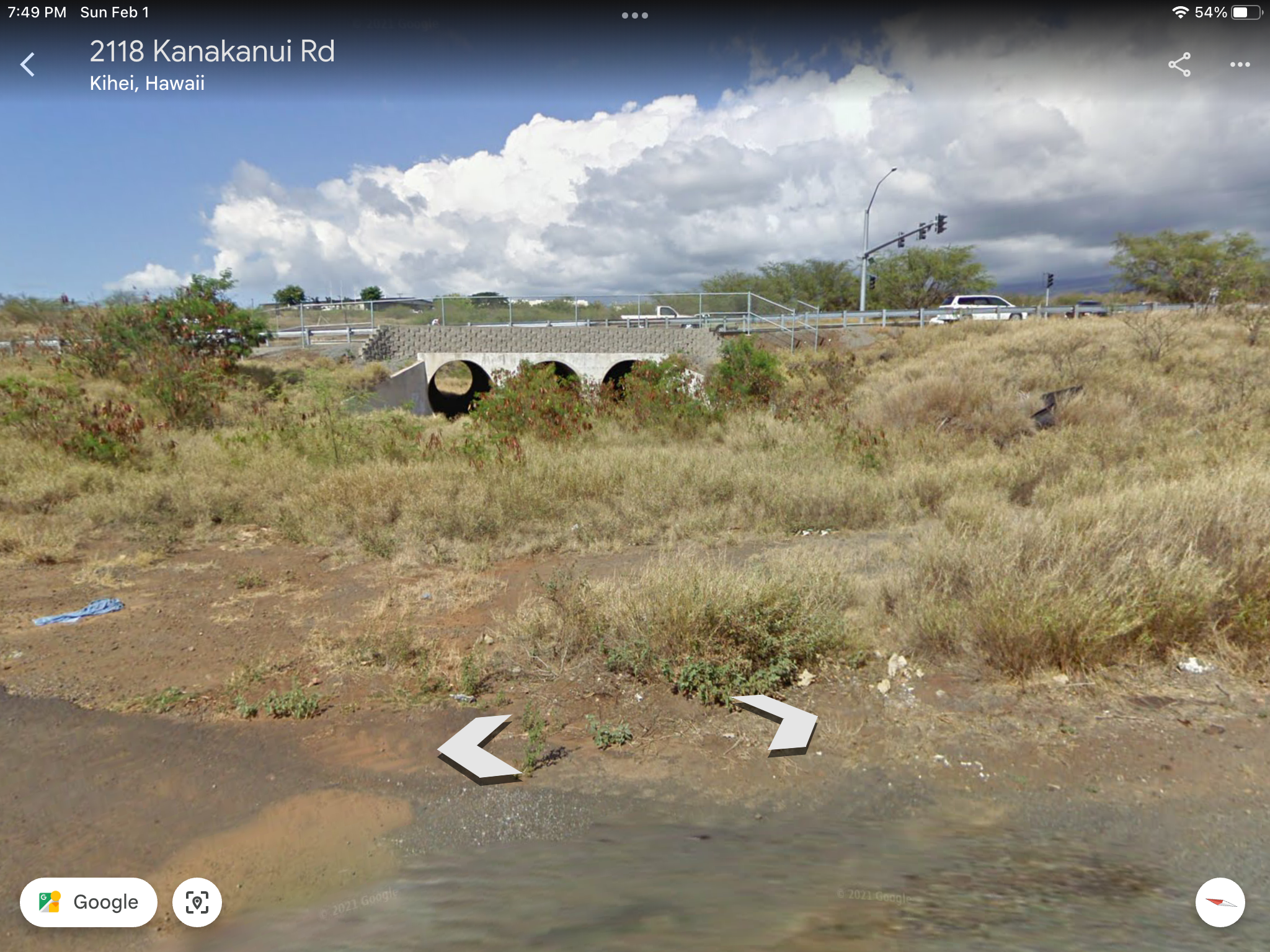
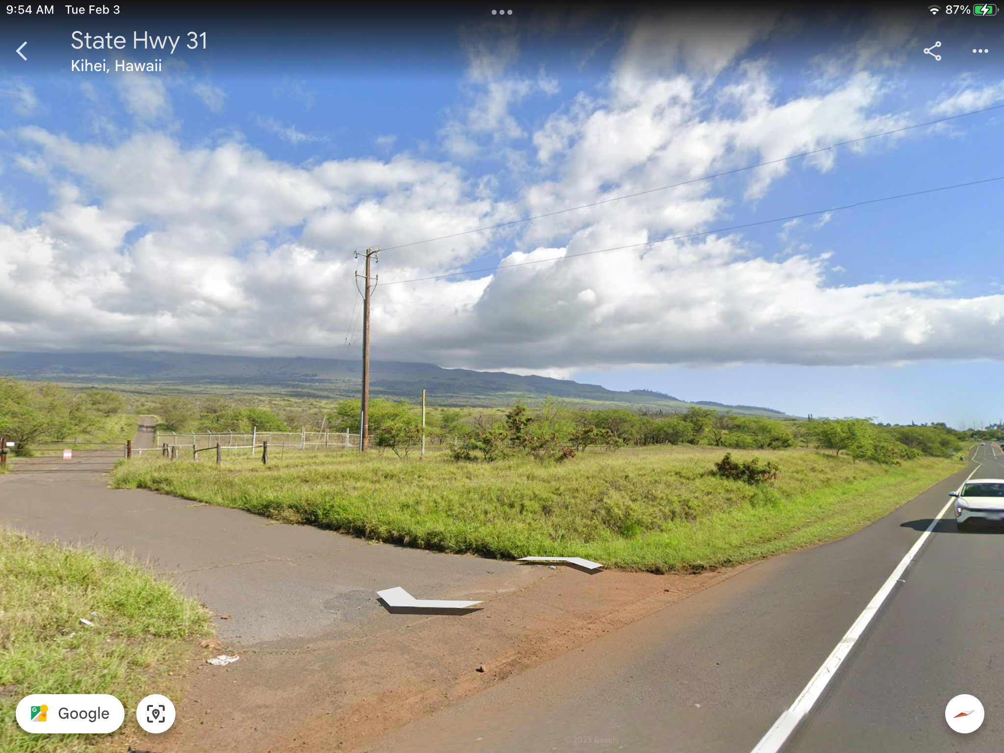
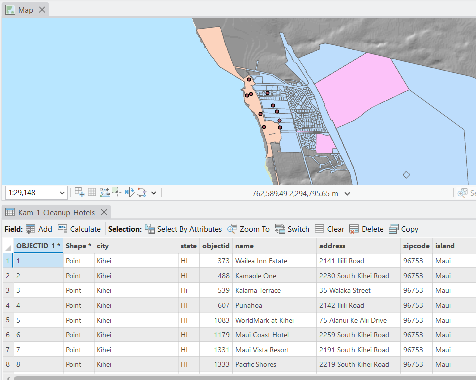
Integrating Geographic Information Systems (GIS) and Drones (UAVs) into the management of the modern day Kamaole Ahupuaa creates a “Spatial Nervous System” for the land. This allows for data-driven decisions that respect the traditional mauka-to-makai flow utilizing cutting edge precision.
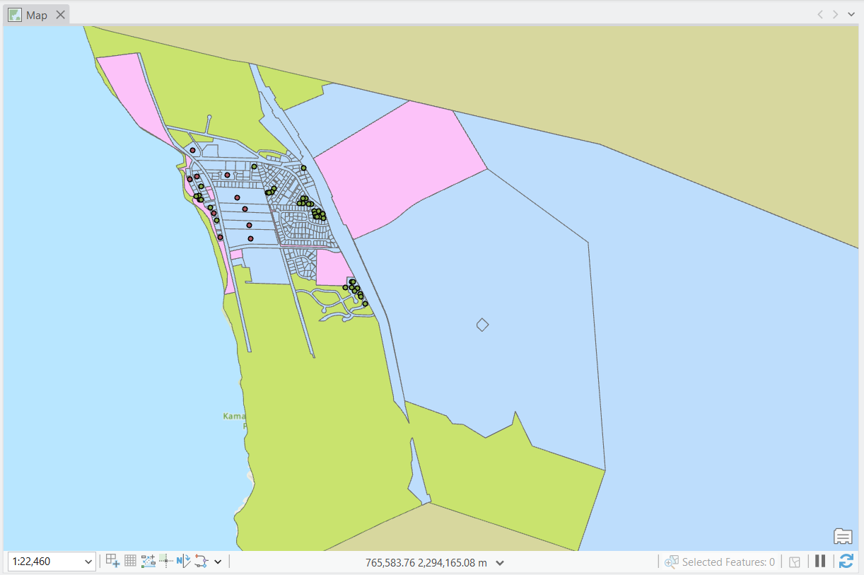
Maui Moku Puni Geodatbase
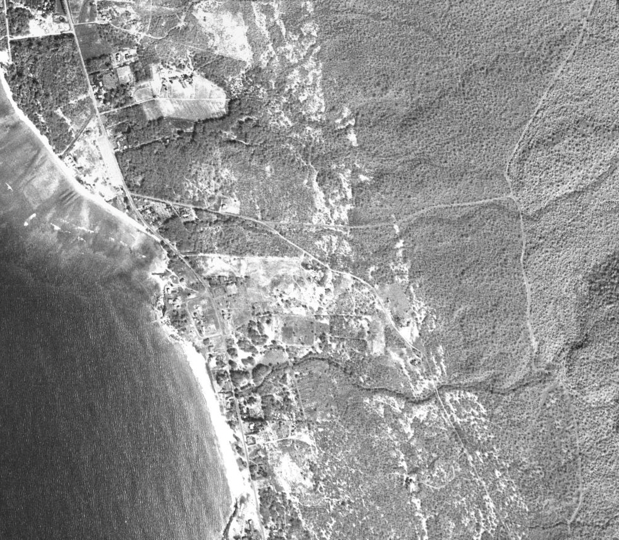
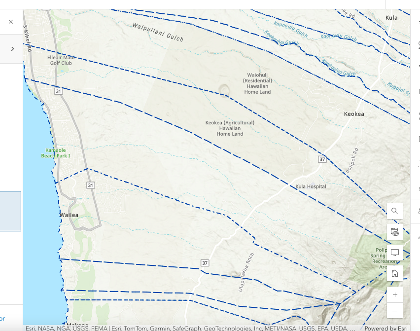
The Hawaii Statewide GIS Database focused on the Maui Moku Puni with a spotlight on the Kula Moku centered on the seven Kula Kai Auhupuaa beginning with the Kamaole Ahupuaa.
GIS Data driven Decision making
GIS acts as the “single source of truth.” It layers historical land boundaries with real-time data to visualize the health of the entire Kamaole Ahupuaa, Kula Moku, Maui Moku Puni ecosystem.