Digital Konohiki - 2
The Ahupuaa Land Management System
The Ahupuaa land management system was established in Hawaii, including Maui, over 1000 years ago in response to growing populations and limited natural resources. The uniquely Hawaiian system of land tenure lasted until 1848 when the Kingdom of Hawaii implemented the Great Mahele and the fee simple system we know today was put into place granting each owner absolute, indefinite title to the land and structures allowing them to use, sell, or lease the land freely.
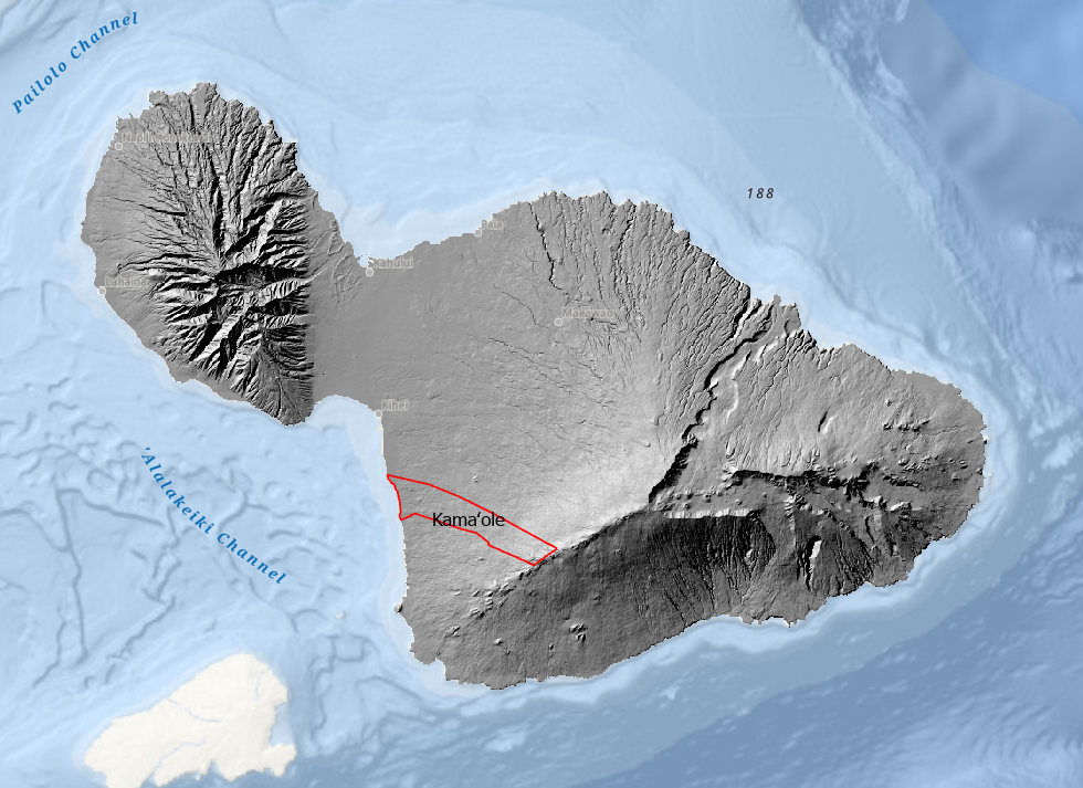
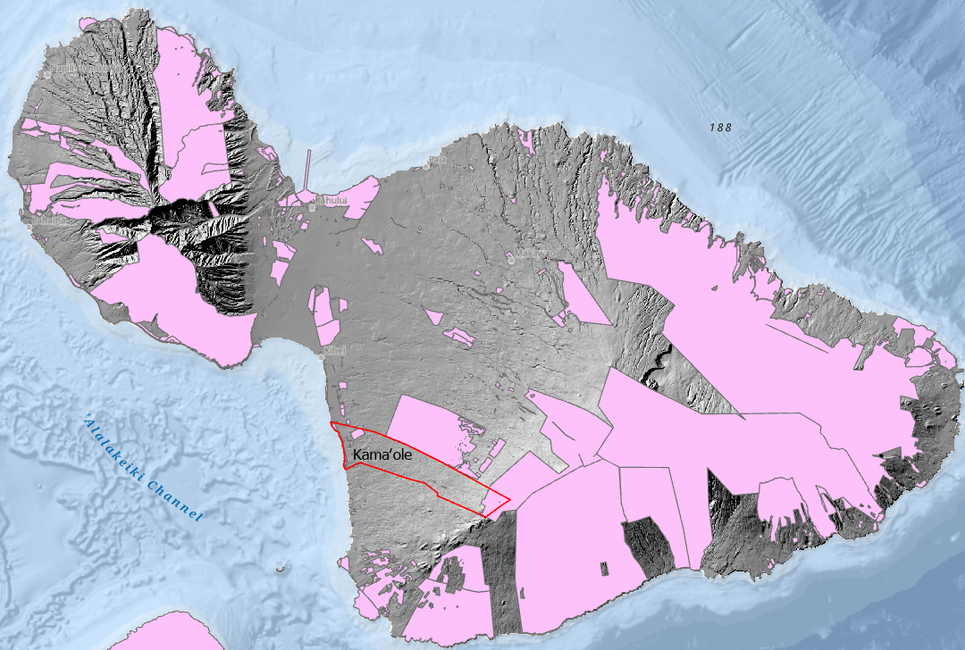
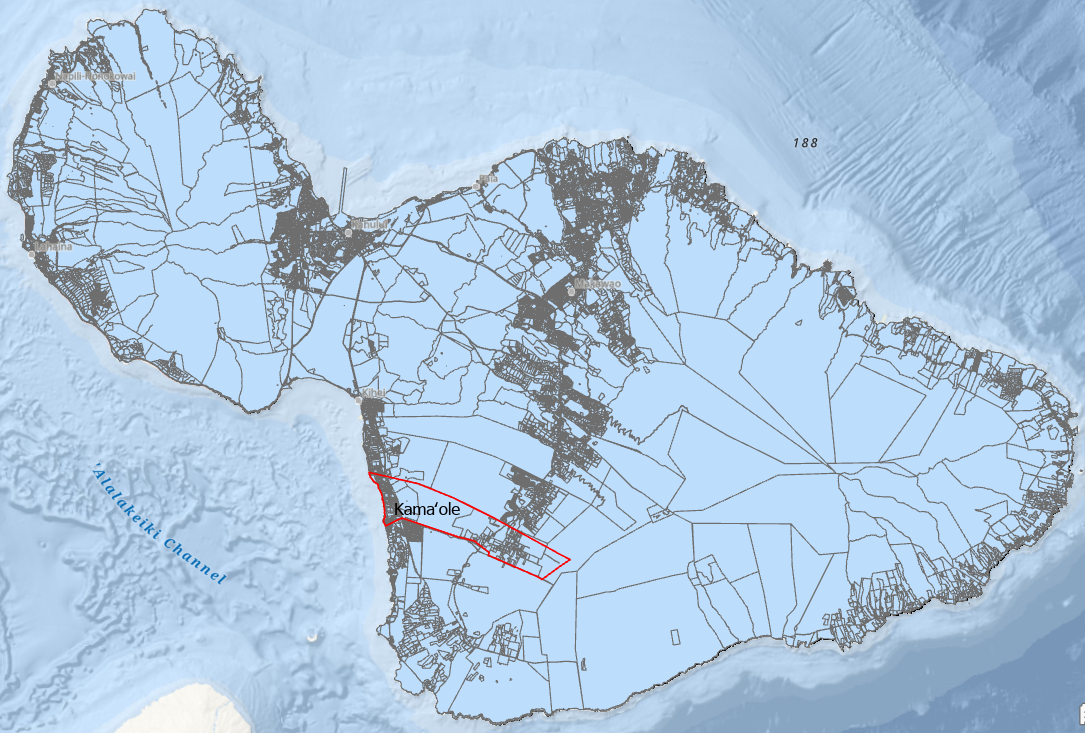
The Maui Moku Puni digital Hillshade layer from the Hawaii Statewide GIS System and the location of the Kamaole Ahupuaa outlined in red along Maui’s leeward Southwest coast.
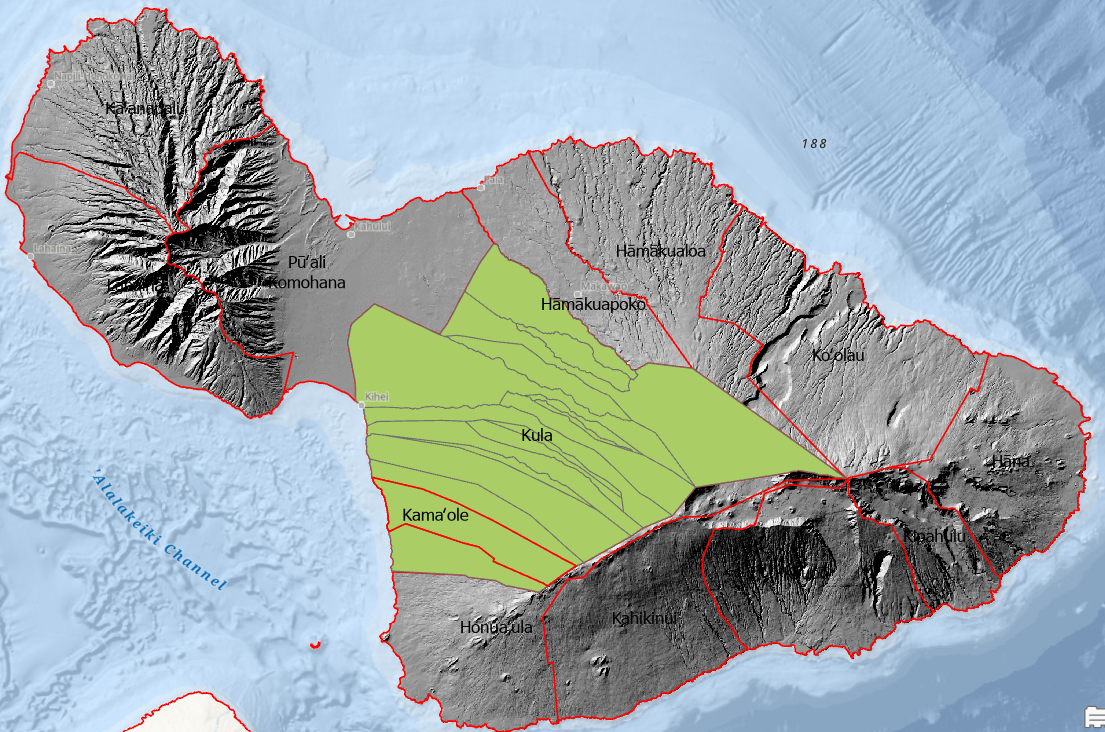
The Maui Moku Puni was divided into 12 Moku. The Kula Moku and its seventeen individual Ahupuaa was the largest.
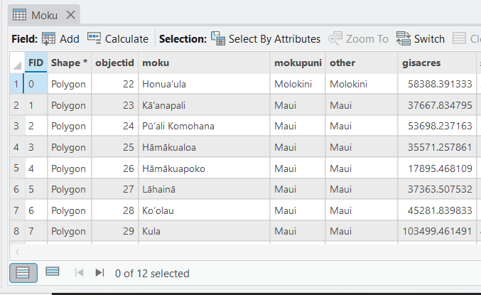
The Maui Moku Puni Geodatabase (MMP-GDB) Moku data layer attribute table with associated data fields is the detailed information behind the visual map.
Maui’s 12 Moku were further divided into 142 Ahupuaa.
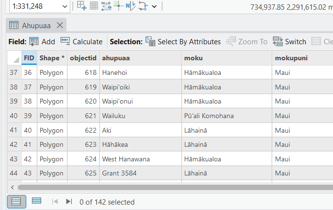
Each individual Ahupuaa and its natural resources were managed by the Konohiki for the Alii.
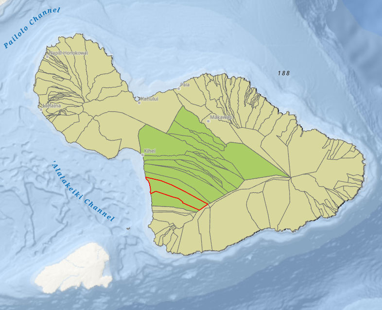
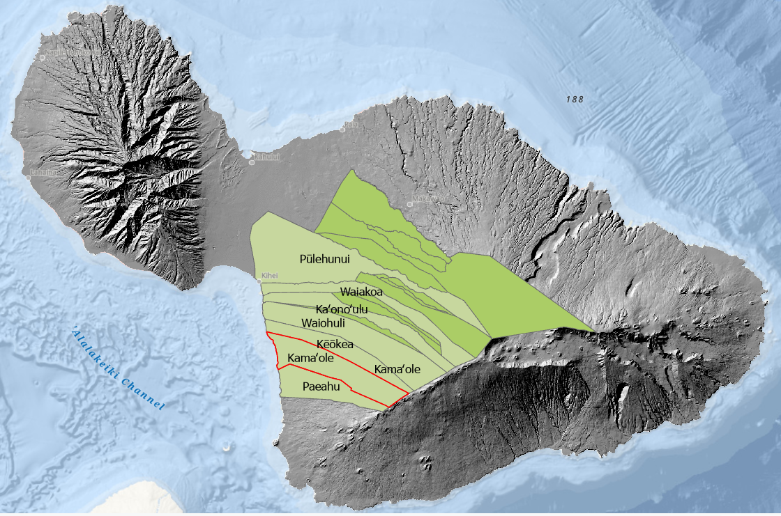
The Kamaole Ahupuaa is one of 17 located within the Kula Moku.
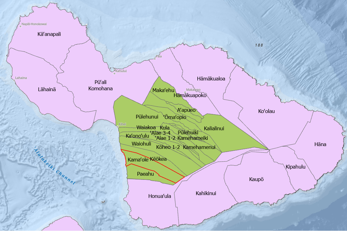
The Kula Moku and the 17 Ahupuaa within its boundaries.
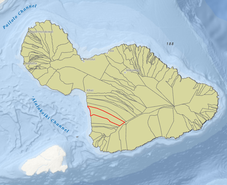
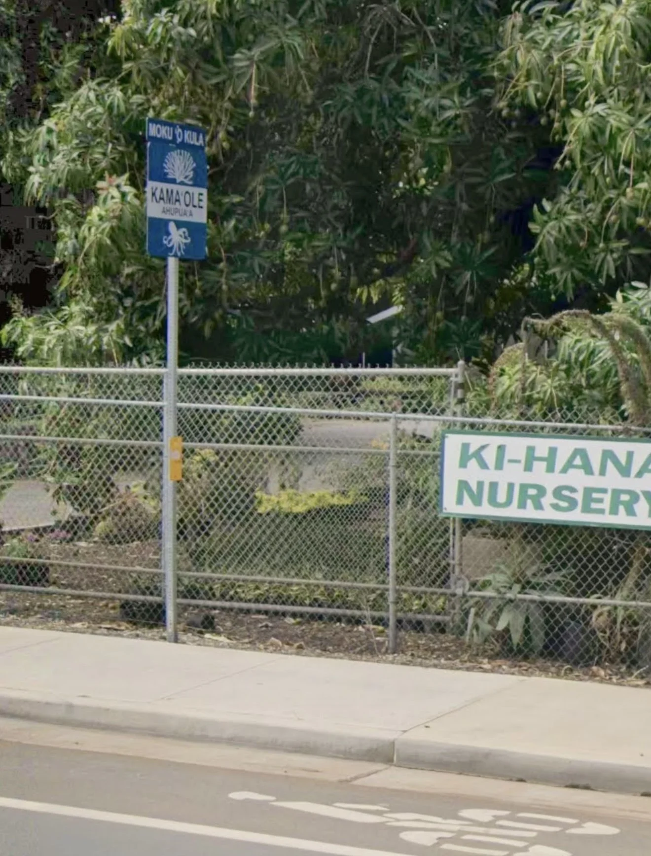
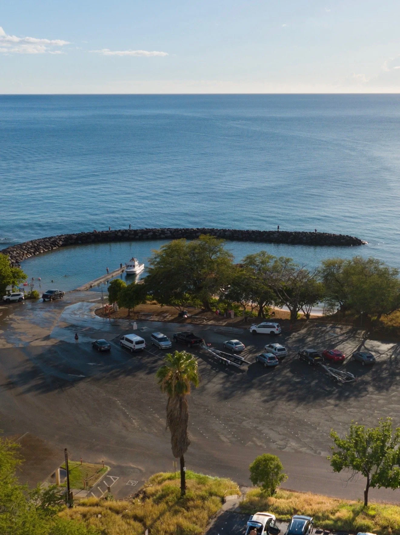
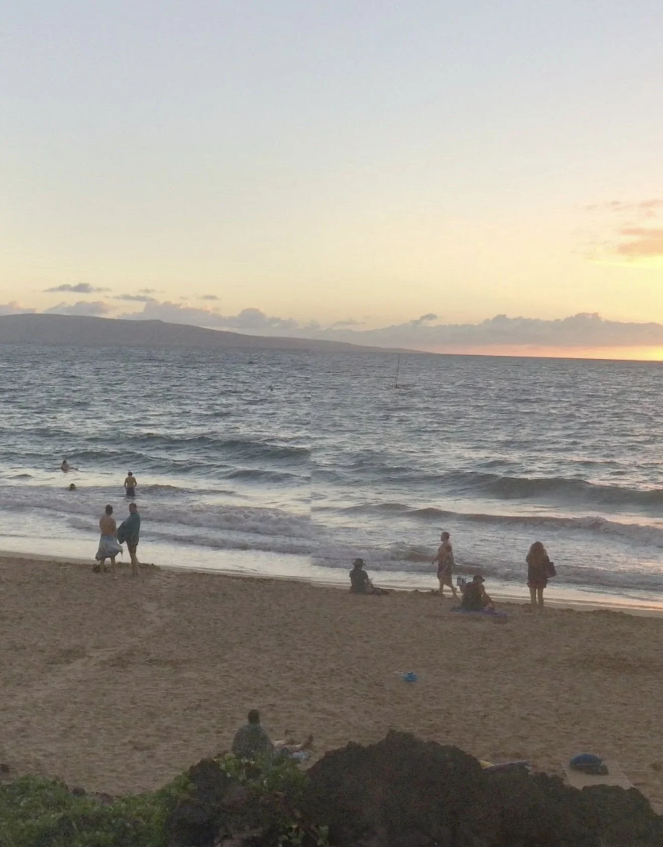
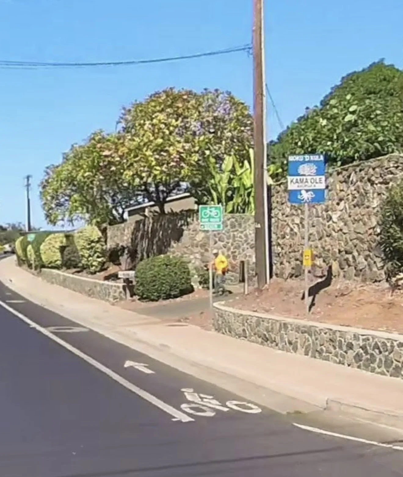
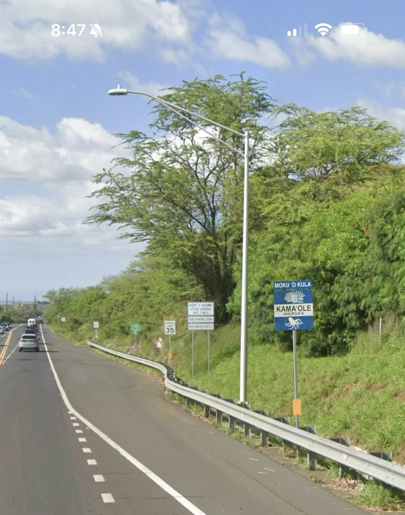
There are seven Kula Moku Ahupuaa that make up the modern day Kihei coastline. On South Kihei Road the north boundary of the Kamaole Ahupuaa is just past the fire station at Kihana Nursery. On the south end the boundary is Kllohana Rd. and Keawekapu Beach. Signs placed by the Maui Nui Ahupuaa Project marking the boundaries are visible along the road.
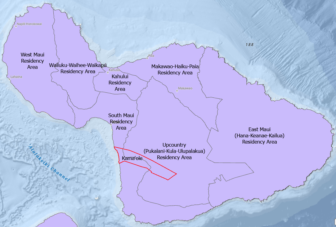
Maui County Council District boundaries divide the Kamaole Ahupuaa separating the lower makai section from upper mauka area. Today there is a patchwork of jurisdictions managing different aspects of the Maui Moku Puni.
MMP-GDB Government Land Data Layer.
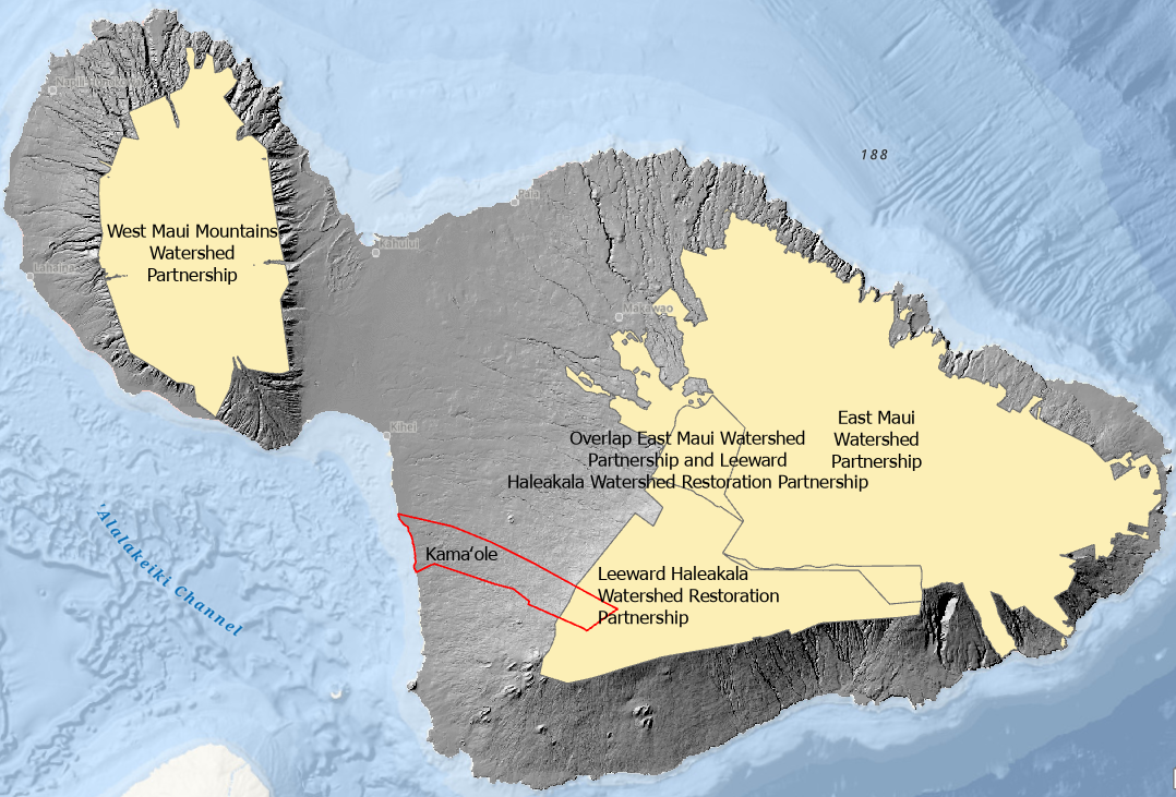
MMP-GDB Watershed Management Districts Data Layer.
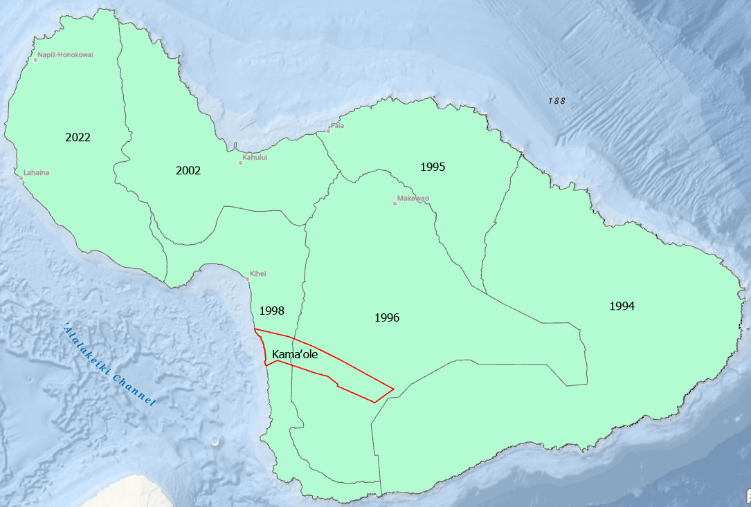
The Maui Moku Puni is currently managed with Community Plans to control growth and manage use and development. The 2025 Draft South Maui Community Plan is available for review.
Todays fee simple land management system has the Maui Moku Puni divided up into over 44,000 individual private and government owned parcels versus the communally managed 12 Moku and 142 Ahupuaa of the time tested Ancient Hawaiian Ahupuaa Land Management System.
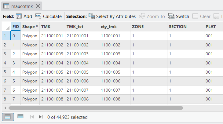
Maui County Tax Map Data Layer currently has 44,923 individual records.
Make a Donation
Help build the vision of a functioning Modern Day Kamaole Ahupuaa. Small donations and product purchases help pay for the website and the cost to develop the Maui Moku Puni Geodatabase until longterm funding is in place and the next generation is trained and leading the way. Every contribution —big or small—helps create a world that reflects our shared values. Your support moves us all closer to a brighter tomorrow.
• Hardboard MDF 0.12″ (3 mm)
• Cork 0.04″ (1 mm)
• High-gloss coating on top
• Size: 3.74″ × 3.74″ × 0.16″ (95 × 95 × 4 mm)
• Rounded corners
• Water-repellent, heat-resistant, and non-slip
• Easy to clean
The displayed price is for a single item.